Image

THE BRIDGE TO MEMORIES TREK

Wahlyngkhat - Nongblai - Wahkhen - Mawryngkhang - Kongthong

Between several living root bridges on the Trail of Thousanders, the Bamboo Trail to the King of the Rocks, and the Village of the Mother's Love Song, this is a trek that will leave you with memories to last several lifetimes.

At a Glance

The essential facts of the Wahlyngkhat - Kongthong trail

Region

East Khasi Hills, Meghalaya

Route

Wahlyngkhat to Nongblai to Wahkhen to Kongthong

Days

5 days, 4 nights

Total Distance

20 km

Difficulty

Easy to Moderate

Elevation

757 m - 1487 m

Season

All year long

Best During

October - May

Mobile Network

Jio and Airtel works best

Water availability

Available on days 3-4. Best to carry 2-3 litres on other days

Overview

The Bridge to Memories trek is a multi-day journey through the East Khasi Hills that weaves together natural wonders, living traditions, and remarkable indigenous engineering. The trail passes through culturally rich villages, showcasing living root bridges—naturally grown structures formed by guiding the aerial roots of rubber fig trees across streams over generations. One of the highlights includes a descent of nearly 5,000 steps from Wahlyngkhat to Nongblai, the base for exploring several of the region’s 16 living root bridges.

From Nongblai, the trek continues to Wahkhen through dense forests, fruit-laden trees, and extensive broom-grass fields. At Wahkhen, trekkers can either proceed toward Kongthong or take an optional day-long detour along the Bamboo Trail to Mawryngkhang, the “King of the Rocks,” a dramatic monolith steeped in local legend. This section features bamboo walkways anchored into sheer rock faces, offering a unique and immersive hiking experience.

The journey culminates in Kongthong, a village known for the tradition ofjingrwai ïawbei or “Mother's Love Song,” where children are called home at dusk using melodies composed by their mothers. Along the trail, trekkers encounter rich flora such as fruit trees, medicinal plants, and wild mushrooms, as well as fauna including flying squirrels, barking deer, foxes, and, rarely, the clouded leopard. The trek is both a cultural and ecological immersion, best experienced at an unhurried pace.

Trail Route Overview

The map below highlights villages, trail segments, resting points, water sources, and living root bridges along the route.

Trail Segments

Day - 1:Shillong to Wahlyngkhat
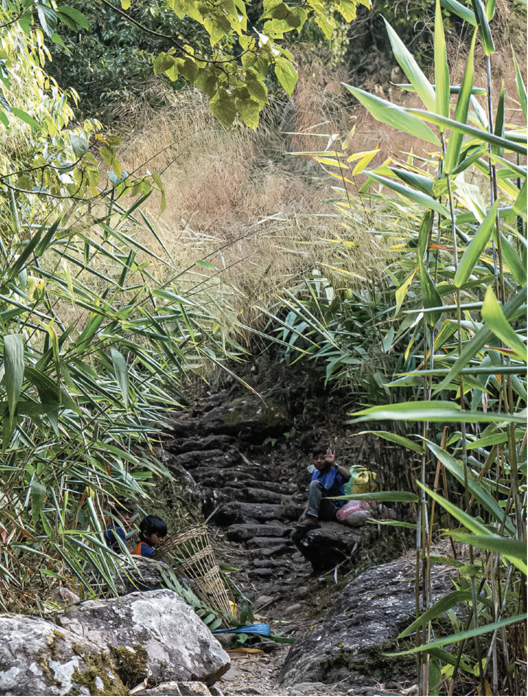
Distance: 2.2 kmAltitude: 1487 m to 770 mTerrain: Steep descent

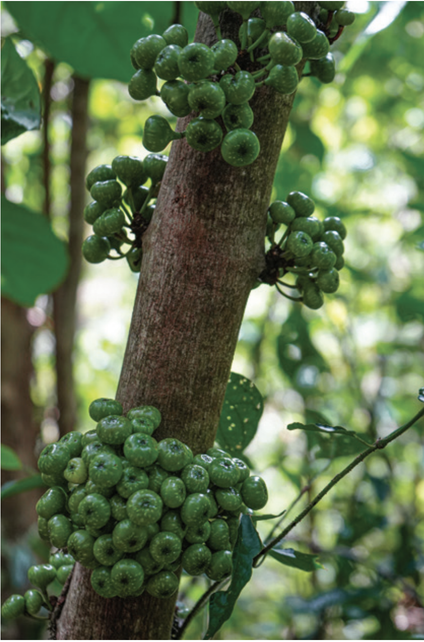
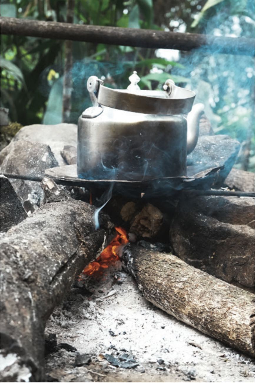
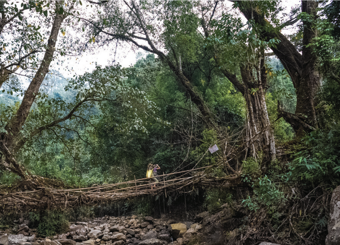
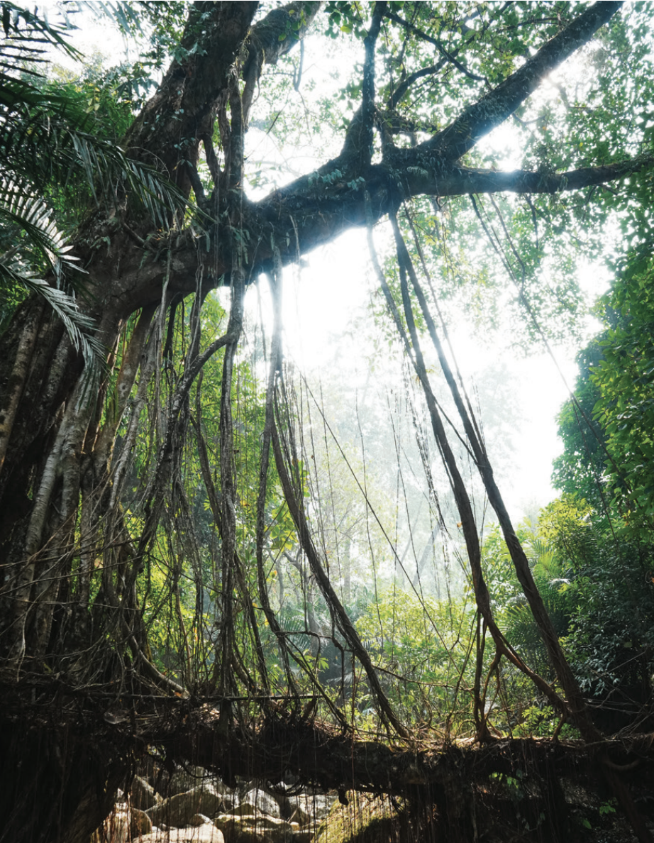
You begin the day with a drive of approximately 3 hours from Shillong to Wahlyngkhat, a small village located just five minutes off the main road.The village appears quiet during the day, as most adults leave early in the morning to work in the fields and return only in the evening.From Wahlyngkhat, the trek starts with a downhill walk toward Nongblai. The trail takes around two hours and includes three designated rest stops.At the third rest stop, a rope house can be seen on the left, equipped with a ropeway used by locals to ferry food and small supplies across the valley.

Image
Image
Image
Day - 2:In and Around Nongblai
Distance: Flexible (depends on chosen routes)Altitude: 770 mTerrain: Mostly flat walking with gradual ascents and descents

The day is spent exploring the area around Nongblai village and visiting some of the 16 magnificent living root bridges accessible from here.The total distance covered depends on how many bridges you choose to visit, allowing for a relaxed and self-paced exploration.In Khasi, the word ‘wah’ means ‘river’, offering insight into the rivers over which these living root bridges have been built.Take time to rest by the riverbanks, listening to the water flow, and observe how village homes are constructed on terraces carved into the mountainside.

Image
Image
Image
Day - 3:Nongblai to Wahkhen
Distance: 4 kmAltitude: 770 m to 909 mTerrain: Gradual descent and ascent (4–5 hours)

Today’s trek takes you from Nongblai up to Wahkhen, a village situated along a ridge overlooking the surrounding valleys.The trail involves a combination of gradual descents and ascents and typically takes between four to five hours to complete.Wahkhen has proper road access and a few local shops where you can find tea, snacks, and simple meals.Upon arrival, the remainder of the day can be spent resting and preparing for the more adventurous sections of the trail ahead.

Image
Image
Image
Day - 4:Wahkhen to Mawryngkhang
Distance: 6.5 km (round trip)Altitude: 909 m to 757 mTerrain: Gradual descent on bamboo bridges and ladders (5–6 hours)

This day offers an optional but highly rewarding trek along the Bamboo Trail to Mawryngkhang, known as the King of the Rocks.The Bamboo Trail is a unique experience, featuring bamboo bridges and ladders that allow you to walk across, alongside, and even below sheer rock faces.The village council regularly inspects and maintains the trail to ensure safety for trekkers moving both uphill and downhill.Taking this extra day is strongly recommended, as the panoramic views and the experience of reaching Mawryngkhang more than justify the additional effort.

Image
Image
Day - 5:Wahkhen to Kongthong
Distance: 5.2 kmAltitude: 909 m to 1106 mTerrain: Steep descent and ascent (5–6 hours)

After a restful night in Wahkhen, the trail climbs steadily for approximately five to six hours to reach Kongthong, a village perched atop a high ridge.The ascent is demanding, but the panoramic views from the ridge offer a rewarding payoff for the effort involved.At dusk, you will experience the tradition of jingrwai ïawbei, or the Mother’s Love Song, as parents call their children home using melodies composed especially for them.This unique cultural moment unfolds as the sun sets, creating one of the most memorable experiences of the entire trek.

Image
Image
Image
Day - 6:Kongthong to Shillong
Distance: Drive (~4 hours)Altitude: 1106 m to ShillongTerrain: Road journey

After breakfast in Kongthong, you depart for Shillong, which is approximately a four-hour drive away.This marks the conclusion of the trek, allowing time to rest and reflect on the journey through the East Khasi Hills.The trek begins in Wahlyngkhat, which is accessible by buses and taxis, and ends in Kongthong, from where taxis are generally available.As local transport in villages can be unpredictable, it is advisable to arrange a vehicle from Shillong in advance for both drop-off and pick-up.

Image

Best Time to Visit

October to April is ideal for trekking. Trails can become slippery during the monsoon season and are not recommended for inexperienced trekkers.

Safety & Responsible Travel

  • Engage local guides where possible
  • Carry adequate water and essentials
  • Respect local communities and traditions
  • Avoid damaging living root bridges

Explore More Trails in Meghalaya

Discover curated trails, cultural experiences, and natural wonders across the state.

Book Now